Whympr
09
October
2026
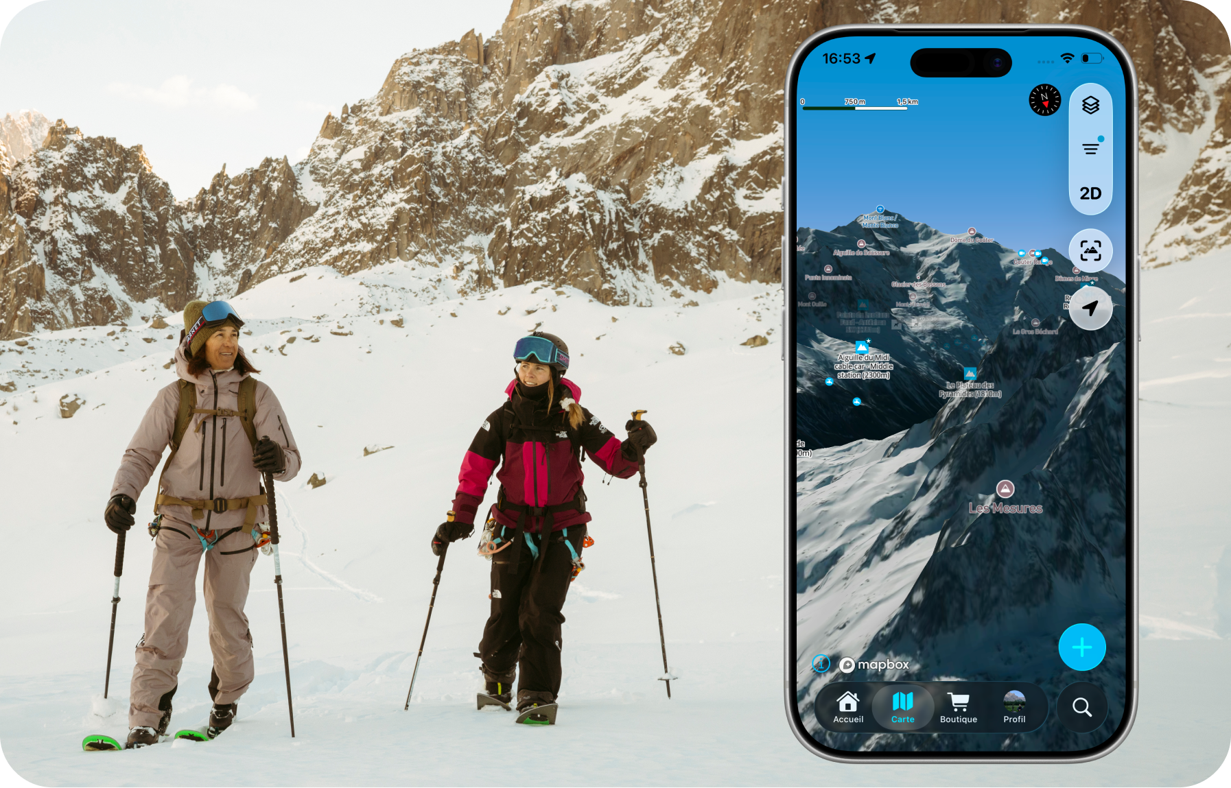
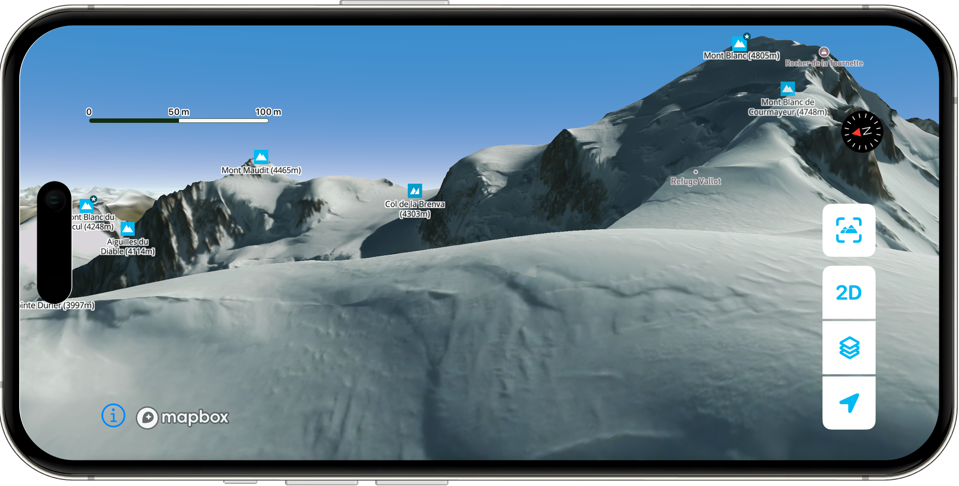
Plus ergonomique, plus lisible et plus fluide, découvre la nouvelle version de l'application
Hiking
11
April
Explore the most breathtaking hikes in the Mont Blanc massif with the Vamos guidebook, featuring detailed routes, hidden gems, and unforgettable alpine adventures.
Ski touring
Ski
25
March
Explore the new Whympr winter satellite maps for ski touring in Belledonne and Zermatt (Matterhorn & Monte Rosa).
Tutorial
16
Discover Whympr’s new feature: report and check hazards and obstacles before your outdoor outing.
03
Discover 80 backcountry skiing routes around Chamonix with the Vamos guidebook.
23
February
Find all avalanche reports pretty anywhere in the world with Whympr.
20
Whympr centralizes key avalanche risk data to help you plan your mountain outings safely. Learn more in this article.
Climbing
26
January
Are you wondering if the Whympr mobile app is free? This is what we will see in this article.
22
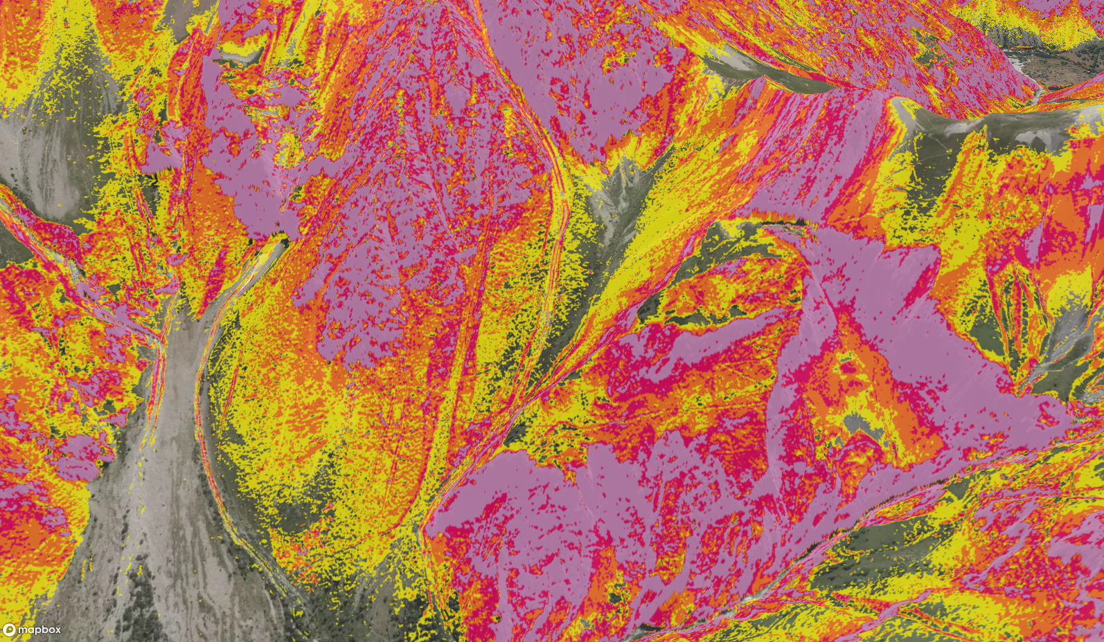
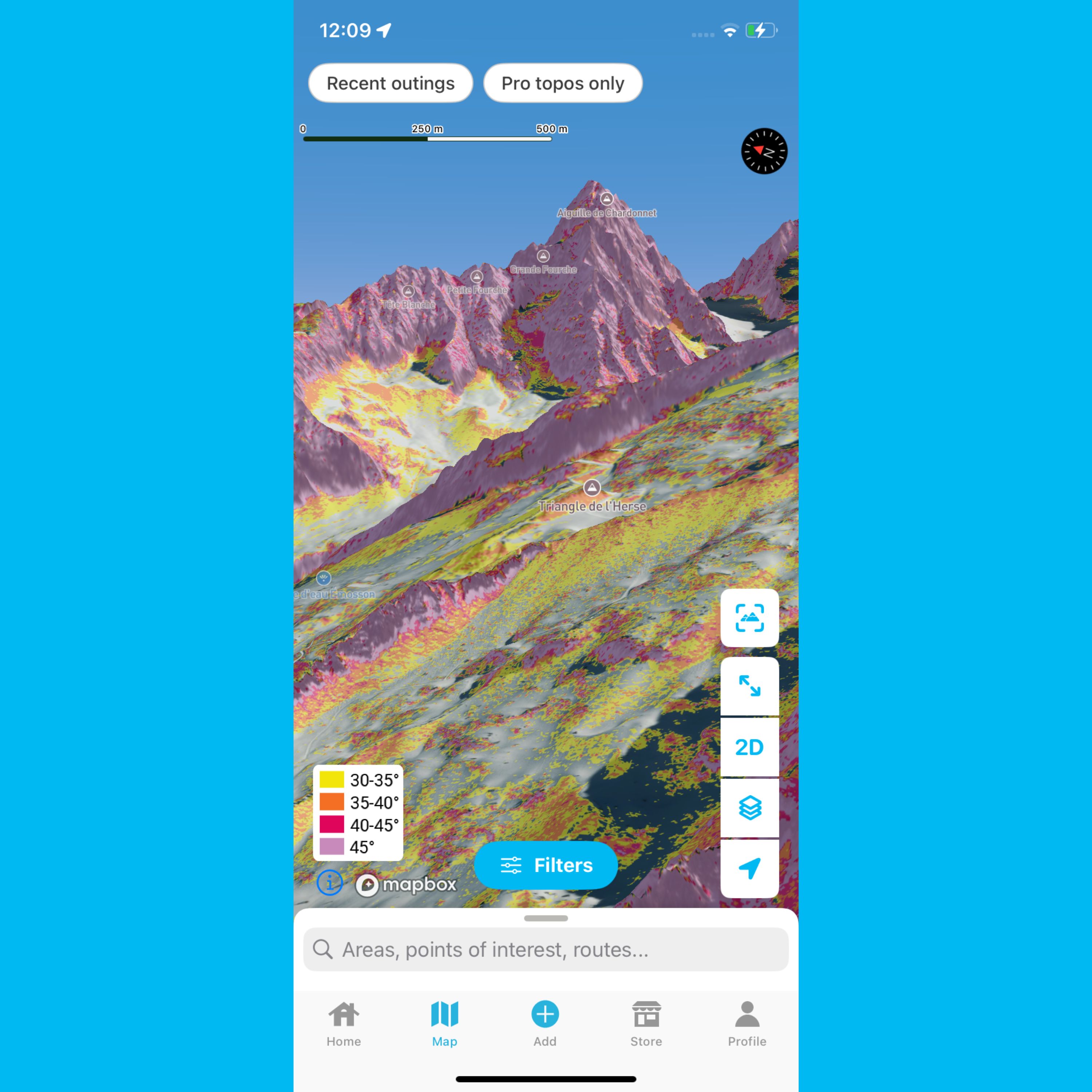
What is a slope gradient layer? Why is it important for planning your mountain trips? How do you read it correctly? We cover everything you need to know in this article.
12
Check out the resolution of Whympr’s world slope gradient layer legend in this article.
Discover our 4 mountain-related projects that we are going to support financially this winter.
Did you know that at Whympr, we’ve taken a different approach, focusing on the quality and variety of the information we provide?
What to do with Whympr? Our CEO explains it to you in 5 minutes in this video.
Discover the diversity and beauty of these mountains through four trekking routes in the Pyrenees: 3 to 6 days in the Hautes-Pyrénées, Aragon, Ariège, and the Eastern Pyrenees.
FATMAP has shut down on October 1st 2024. Which mountain app should you choose to prepare for your outdoor outings?
Discover the Most Beautiful Hikes in the Calanques of Marseille