Take a Walk in the Calanques with Whympr
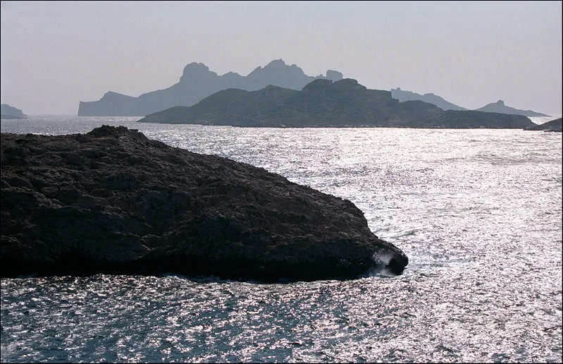
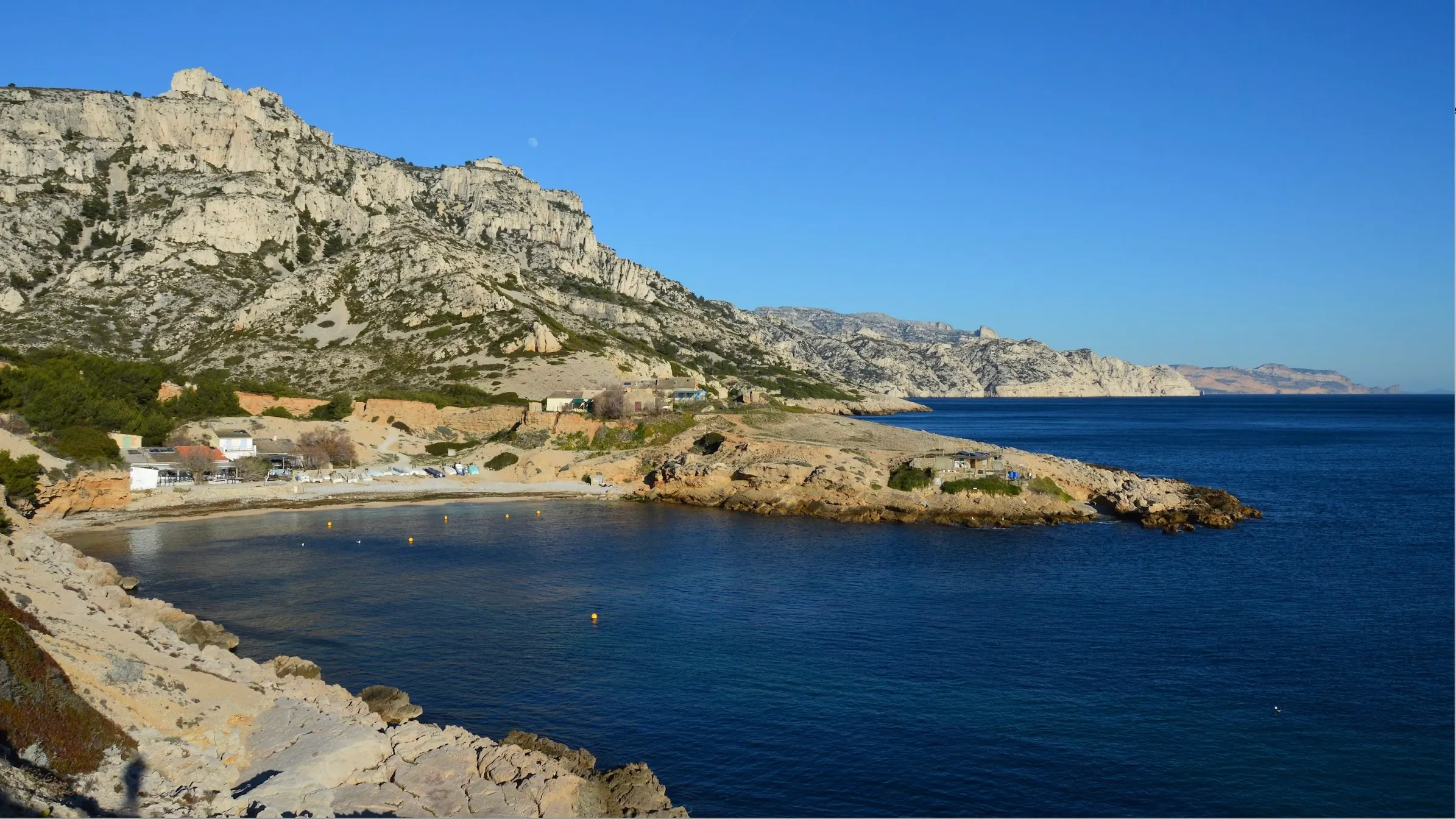
Spring is here, and it’s time to dust off your hiking boots! It's the perfect moment to explore the Calanques massif. Stretching 20 km between Marseille and Cassis, these limestone cliffs meet the Mediterranean Sea, forming small coves. Their beauty has become famous worldwide among hikers and climbers. May is ideal for hiking in the South of France. The sun is out, but the temperatures are still pleasant. What better way to enjoy the stunning viewpoints of this national park!
However, be cautious, as this fragile site suffers from overuse. It’s essential to stick to marked paths, leave no trace by picking up your trash, and follow the park's regulations.
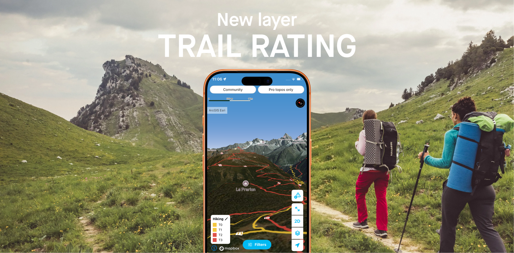
Now that you know all this, all that’s left is to download Whympr to discover our selection of 6 hikes to explore the Calanques with VTOPO’s trail guides. Bonus: for each topo, in addition to key information and descriptions, you’ll find the GPX trace of the route.
Our Selection of the 6 Best Hikes in the Calanques
1- Les Trois Arches
- 10 km
- 600 m of elevation gain
Starting near Marseille, this hike takes you to the Cirque des Walkyries. This route allows you to observe how the limestone has been shaped over time, forming these three curious arches. A unique way to discover the Calanques!

2- Summit of Marseilleveyre
- 4km
- 250m of positive elevation
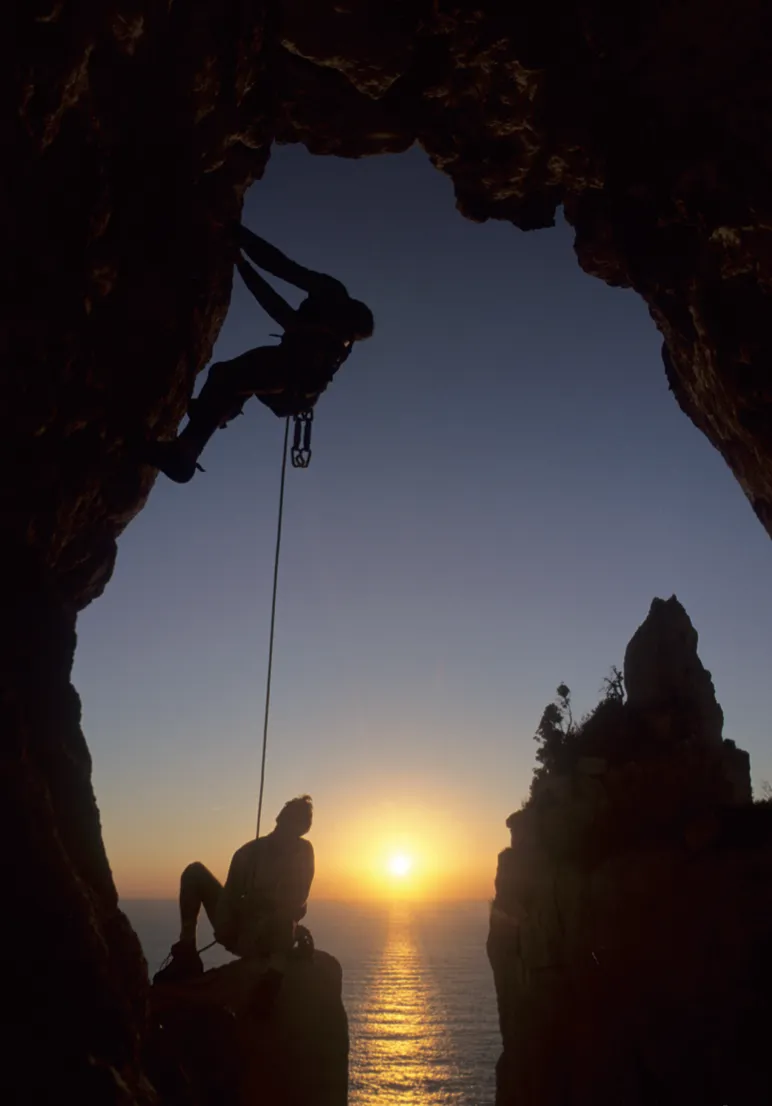
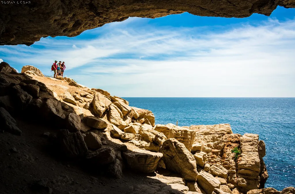
Definitely one of the most beautiful viewpoints in the Calanques. With a reasonable elevation gain, you’ll be able to admire a 360° landscape. A little bonus: if you enjoy caving, don’t hesitate to stop by the Roland Cave, but be sure to stay cautious!

3- Béouveyre
- 6km
- 400m of positive elevation
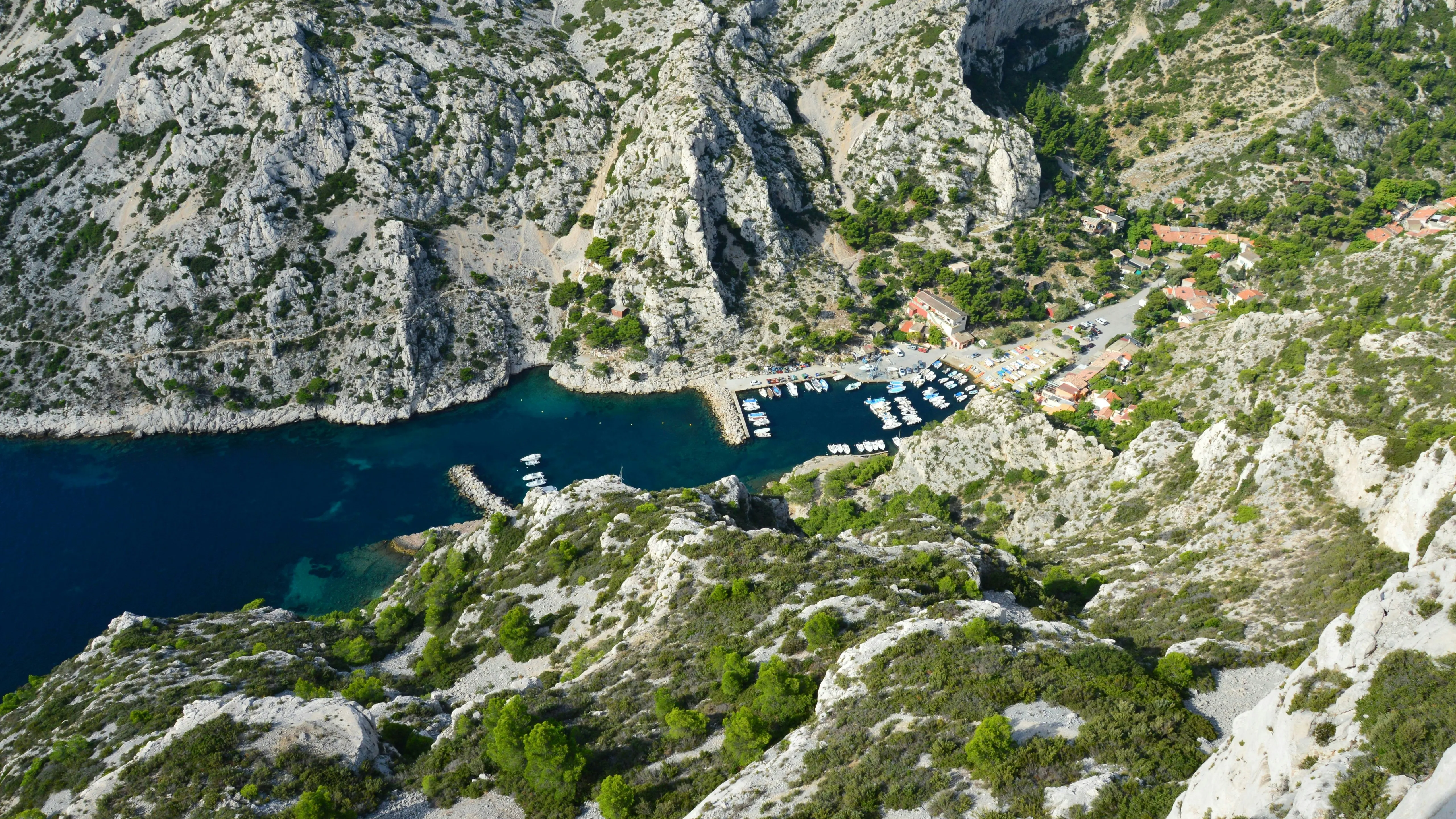
Start from the hamlet of Callelongue for a beautiful trail through the lands, all the way to the sea.This hike will lead you to the wild viewpoint of Béouveyre. Crossing the Pas du Pinet and the Staircase of Giants requires a sure-footed step.

4- La Corniche du pêcheur
- 9km
- 700m of positive elevation gain
A beautiful airy trail, best avoided if you have a fear of heights!Passing by the Fontaine de Voire, you'll follow a coastal path offering stunning views of the Mediterranean's blue waters. We recommend doing the round trip to the Calanque de l'Escu for a complete hike.

5- Le cap Morgiou
- 3.5km
- 200m elevation gainCap Morgiou is the perfect spot to admire the landscape: a sense of being at the edge of the world, with a detour to the Calanque de Triperie and the Cosquer Cave... Everything is set for a breathtaking experience.
Retrouve le topo sur Whympr.
6- La Calanque de Port-Pin

- 4km
- 50m elevation gain
If you still have energy left, we suggest one last route.
The path to the Calanque de Port-Pin is accessible due to its gentle elevation gain, offering an exceptional viewpoint. The trail runs along the coastline, and you can also continue on to the En Vau viewpoint.

Grab your hiking poles and let’s go!
We hope we’ve inspired you to explore the Calanques massif (with Whympr on your phone, of course). These topos are written by a professional publisher (VTOPO), so you’ll find all the essential information for a successful outing, including the route on a map and a GPX track.

You can purchase these topos individually, or get the complete pack of hiking topos for the Calanques to discover even more (head to the "Packs Topos Pro" section in the Whympr app store). So don't forget your water, cereal bars (or sausage/cheese, your choice), sunscreen, and a hat. Post your adventures on Whympr so we can also admire the landscapes and the turquoise sea!