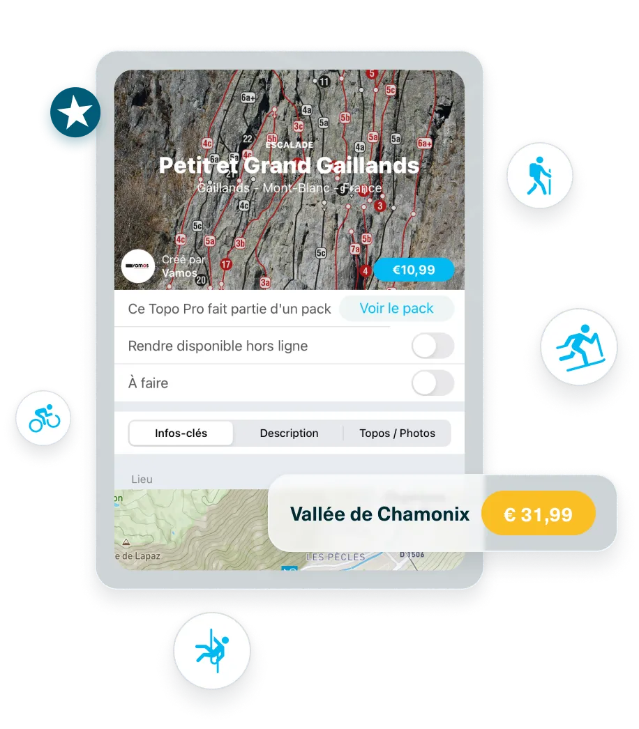
Access to 100,000 route descriptions and points of interest, including a layer of the world's main hiking and mountain biking routes.
Access to 100,000 route descriptions and points of interest, including a layer of the world's main hiking and mountain biking routes.


Access to 100,000 route descriptions and points of interest, including a layer of the world's main hiking and mountain biking routes.

Filter routes by activity.
Filter routes by activity.


Filter routes by activity.

Follow other users, exchange with them and be notified of their outings.
Follow other users, exchange with them and be notified of their outings.


Follow other users, exchange with them and be notified of their outings.

Find the French, Swiss, Italian, Spanish and Austrian avalanche bulletins
Find the French, Swiss, Italian, Spanish and Austrian avalanche bulletins


Find the French, Swiss, Italian, Spanish and Austrian avalanche bulletins

Access layers like gradients and nature preservation zones.
Access layers like gradients and nature preservation zones.


Access layers like gradients and nature preservation zones.

Record your tracks & access your statistics (ascent/descent, distance, speed).
Record your tracks & access your statistics (ascent/descent, distance, speed).


Record your tracks & access your statistics (ascent/descent, distance, speed).

Mont Blanc HD winter satellite winter map
Mont Blanc HD winter satellite winter map


Mont Blanc HD winter satellite winter map

Access 11 different national maps such as IGN France, SwissTopo or USGS.
Access 11 different national maps such as IGN France, SwissTopo or USGS.


Access 11 different national maps such as IGN France, SwissTopo or USGS.

Access the 3D LiDAR view and visualize the different 3D maps.
Access the 3D LiDAR view and visualize the different 3D maps.


Access the 3D LiDAR view and visualize the different 3D maps.

Create and import GPX tracks.
Create and import GPX tracks.


Create and import GPX tracks.

Create your logbook to view your outings on a map and your statistics by activity.
Create your logbook to view your outings on a map and your statistics by activity.


Create your logbook to view your outings on a map and your statistics by activity.

Use the offline mode: save specific routes and maps to access them even without a network.
Use the offline mode: save specific routes and maps to access them even without a network.


Use the offline mode: save specific routes and maps to access them even without a network.

Filter your routes by difficulty, rating, duration, ascent.
Filter your routes by difficulty, rating, duration, ascent.


Filter your routes by difficulty, rating, duration, ascent.

Find mountain weather conditions (Meteoblue) for each mountain and point of interest.
Find mountain weather conditions (Meteoblue) for each mountain and point of interest.


Find mountain weather conditions (Meteoblue) for each mountain and point of interest.

Global layers: slope, aspect, and flat areas
Global layers: slope, aspect, and flat areas


Global layers: slope, aspect, and flat areas

Synchronize your outings with your Suunto or Apple Watch.
Synchronize your outings with your Suunto or Apple Watch.


Synchronize your outings with your Suunto or Apple Watch.


.webp)
.webp)


