Whympr
09
October
2026
Plus ergonomique, plus lisible et plus fluide, découvre la nouvelle version de l'application
Alpinism
Climbing
Hiking
Ski touring
29
September
Discover our Topo Pros: tips written by professionals for ski touring, climbing, mountaineering and hiking directly in the app!
28
Chaque automne, la chasse reprend. Sur Whympr, tu peux maintenant signaler et voir les zones de chasse sur la carte. Gratuit et collaboratif.
15
Looking for the perfect subscription to explore the Alps? Whympr has you covered.
08
Can artificial intelligence really help you prepare for an outdoor adventure? From inaccurate routes and outdated information to overconfidence in AI-generated answers, we take a closer look at the limitations of AI when it comes to the outdoors - and why reliable, up-to-date data grounded in real-world experience matters.
25
August
Your schedule is about to fill up fast… So here are 5 of our favorite tips for keeping hiking on the agenda in september.
Equipement
14
Tube-style, assisted-braking, or Munter hitch: learn how each belay device works and pick the safest option for your next climb.
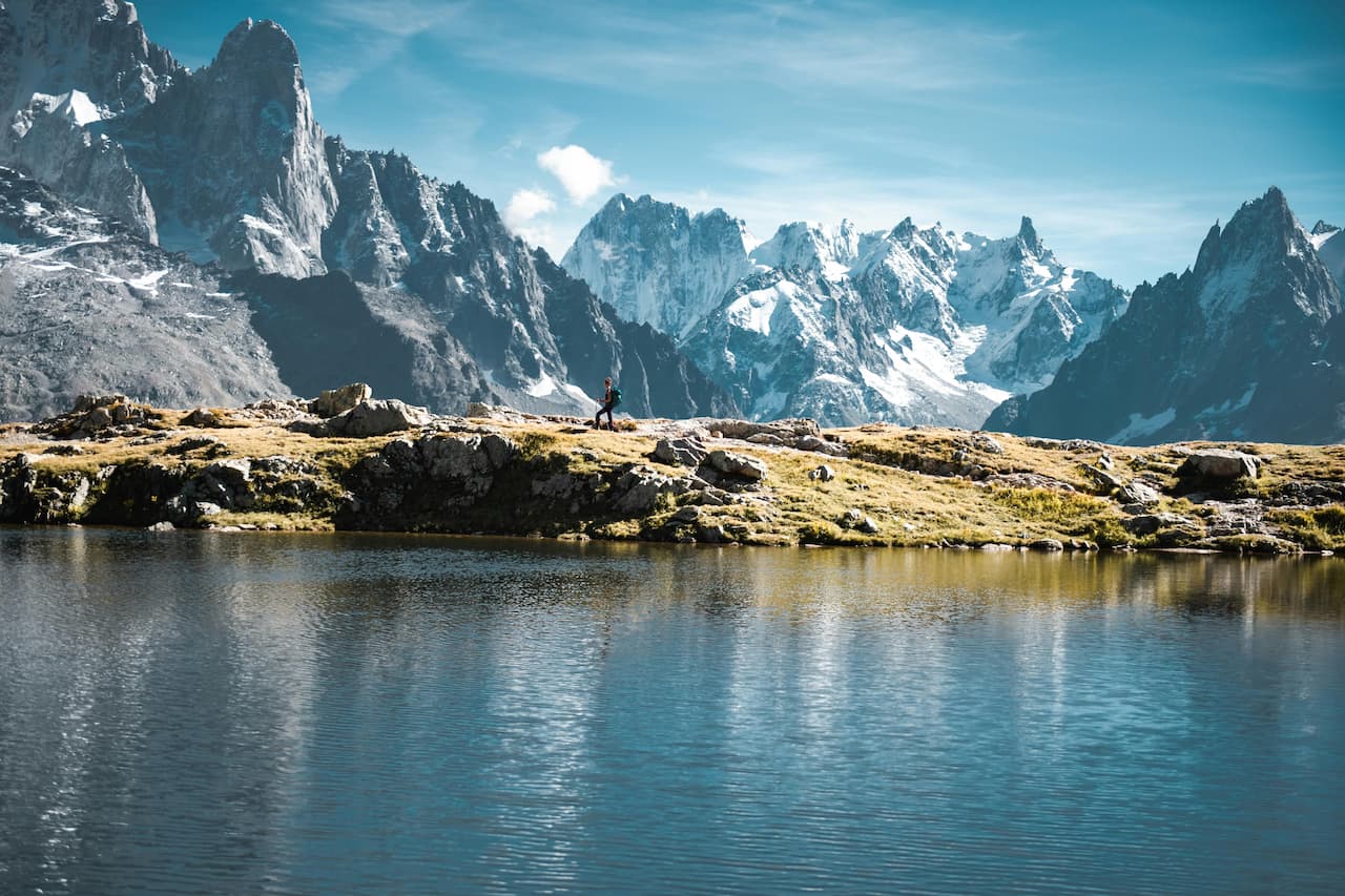
Randonnée au Lac Blanc (2352 m) à Chamonix : découverte du lac, 2 itinéraires détaillés (Flégère ou Col des Montets), distances, dénivelé et meilleure période pour y aller
21
July
🇬🇧 Spread across 10 of the UK's most iconic regions, discover around 100 hiking routes ranging from easy and intermediate to challenging and off-the-beaten-path.
06
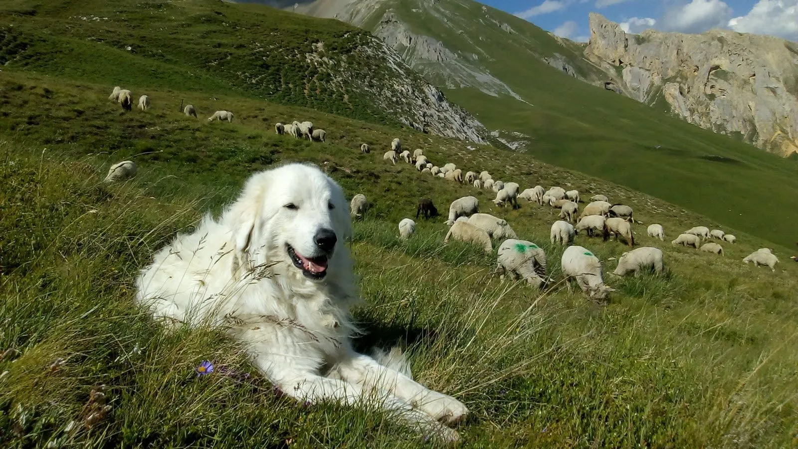
With Whympr’s new map layer showing the location of guard dogs — a.k.a. patous — you can hike with greater peace of mind!
Ski
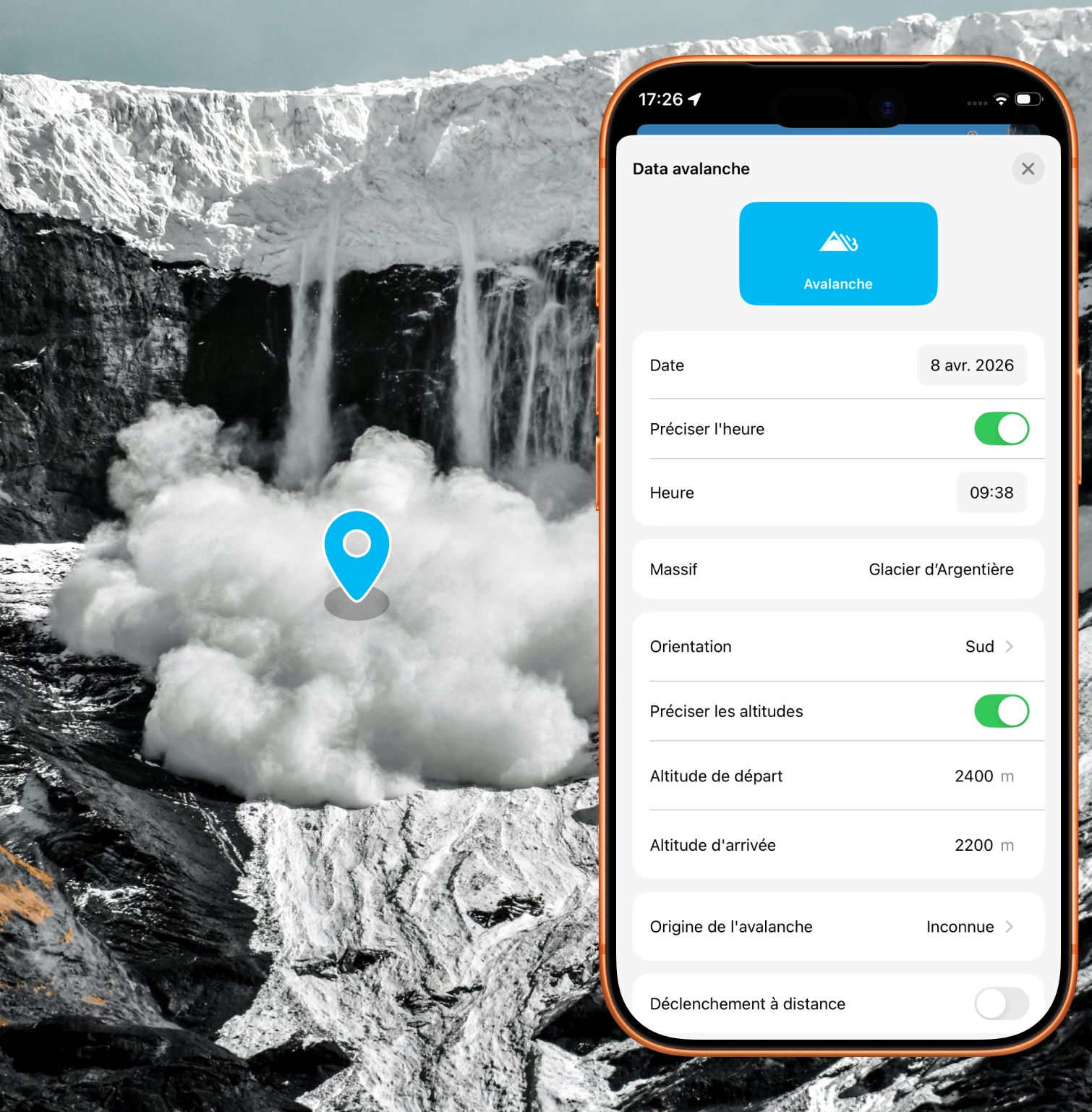
Alert the community and report avalanches quickly with just a few taps in the app
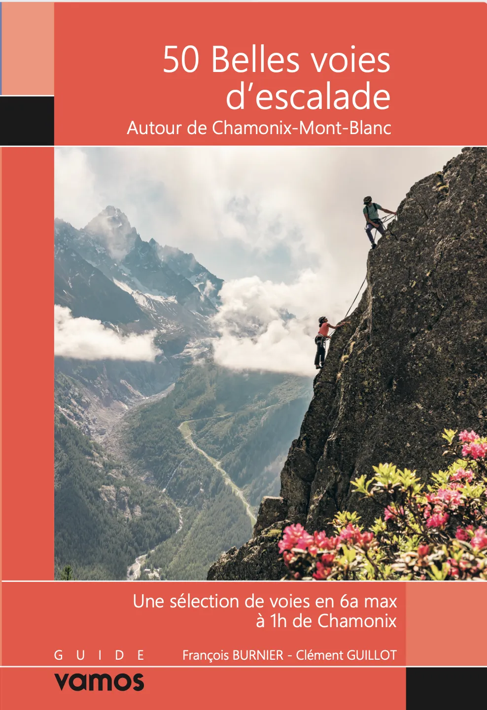
New: 50 beautiful climbing routes to discover around Chamonix.
Pour mieux comprendre les descriptions et cotations des topos de ski de rando : lis cet article !
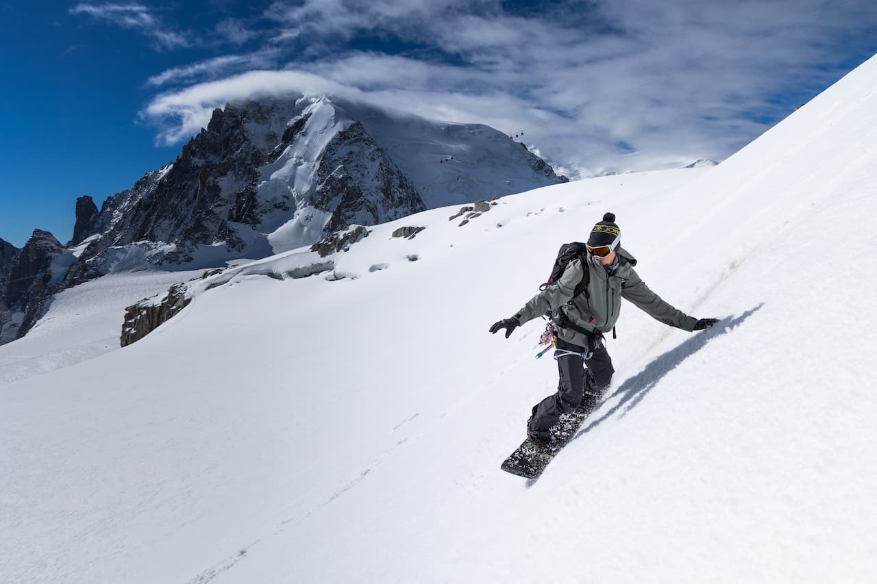
Discover 80 backcountry skiing routes around Chamonix with the Vamos guidebook.
Tutorial
Discover Whympr’s new feature: report and check hazards and obstacles before your outdoor outing.
Access the Tour du Mont-Blanc and Grande Traversée des Alpes Pro Topos in digital format on the Whympr app



.png)
.png)
.png)
.jpg)
%20(1).jpg)

.png)