Hiking
Whympr
23
June
2026
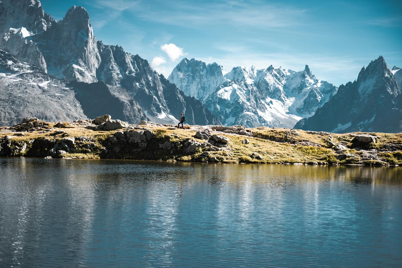
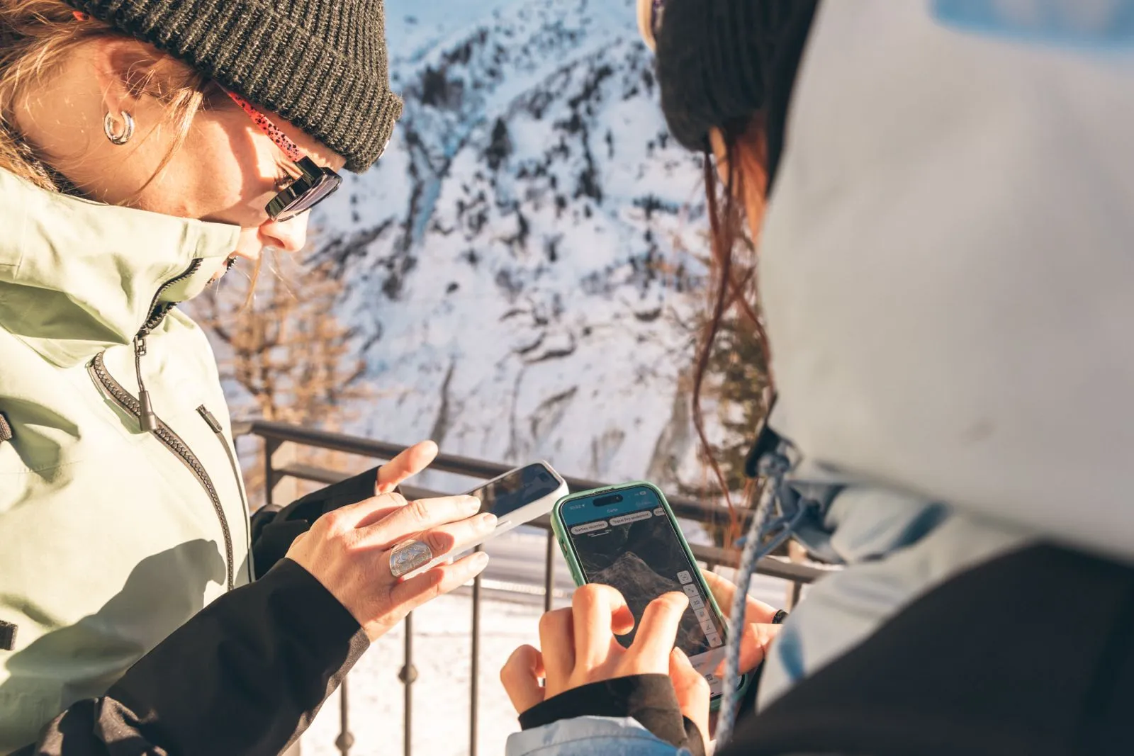
Explore 30 Trail Routes in Chamonix & Mont-Blanc
Tutorial
15
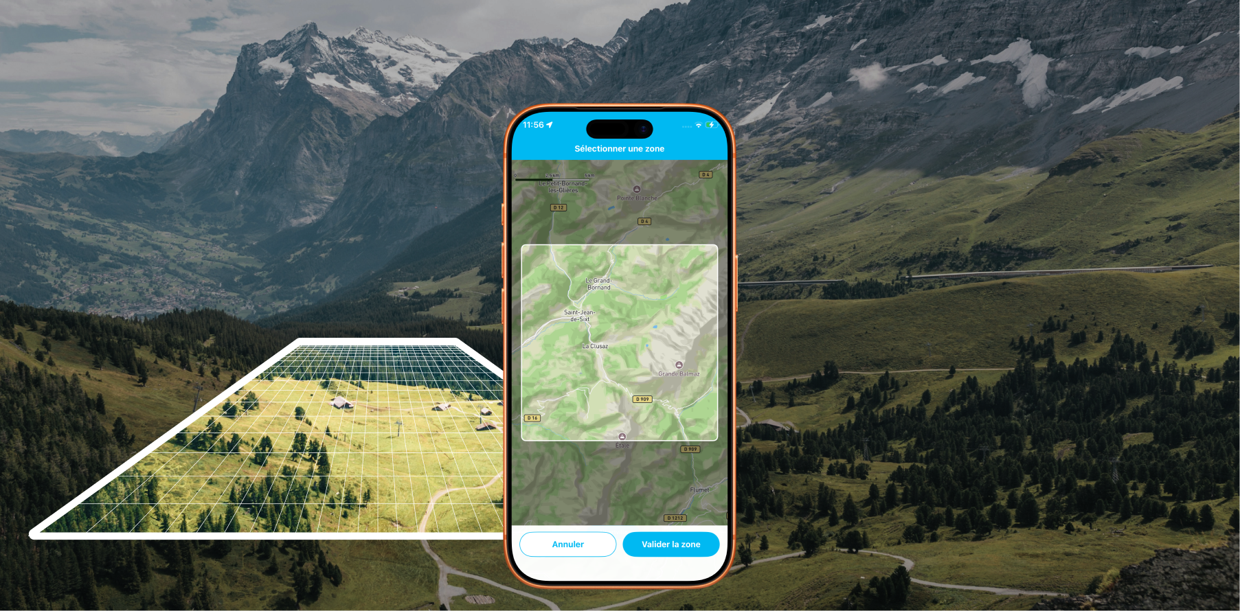
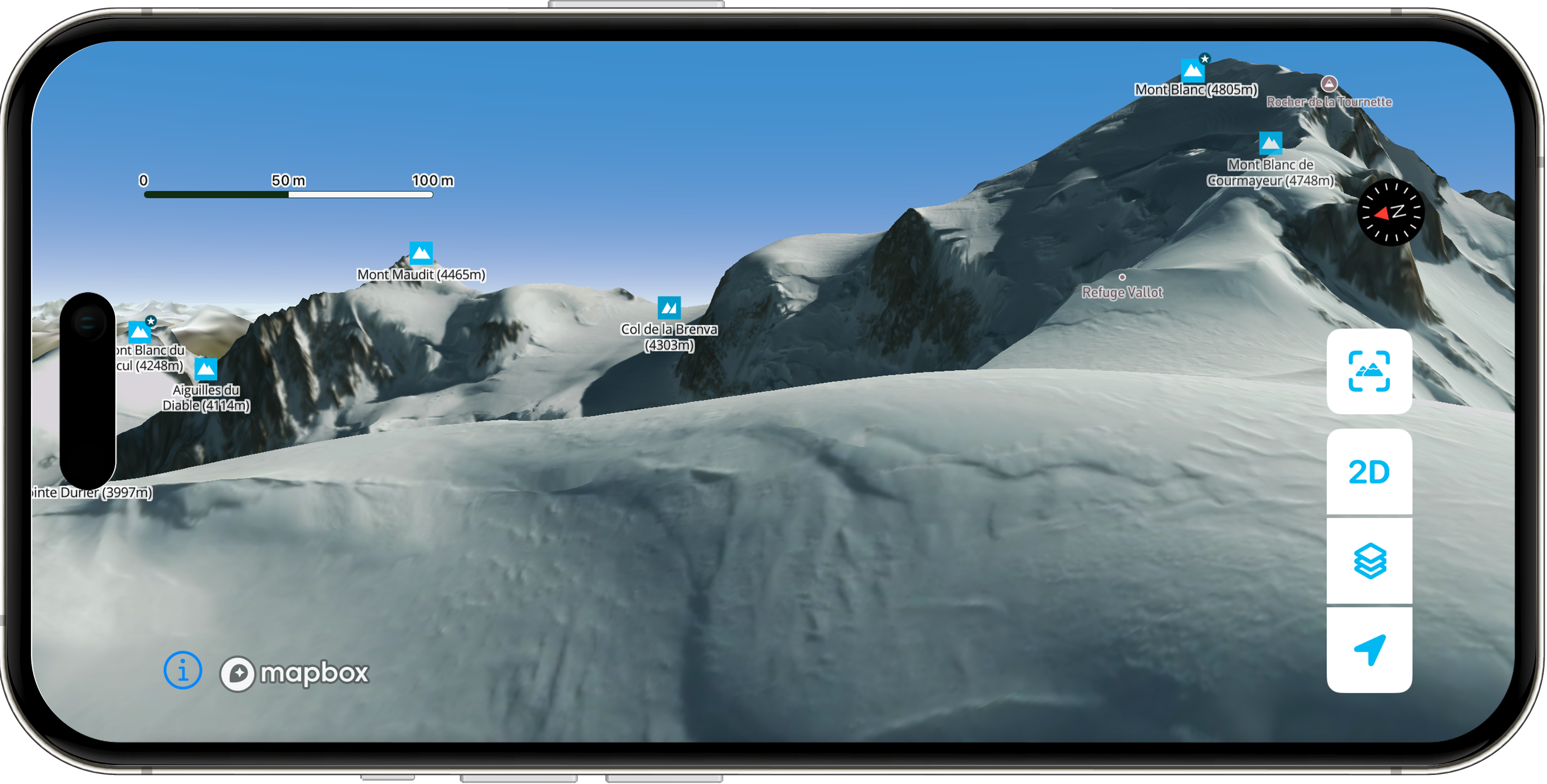
Offline Maps: Download areas from anywhere on Earth and travel without a data connection with Whympr
Alpinism
10
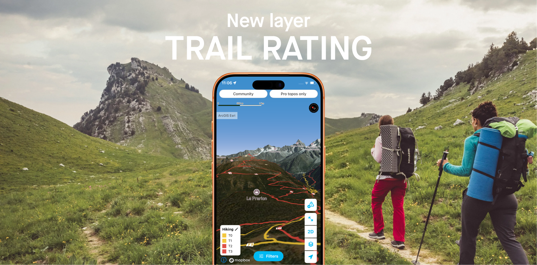
Whympr introduces 2 new layers to display the difficulty ratings of all hiking trails around the world.
26
May
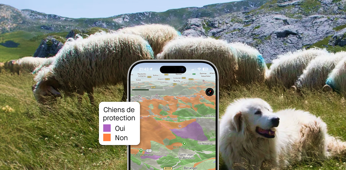
Plan your hikes with peace of mind this summer in France and Switzerland with the new “guard dog zone” overlays
05
Access the Tour du Mont-Blanc and Grande Traversée des Alpes Pro Topos in digital format on the Whympr app
Ski touring
Ski
24
April
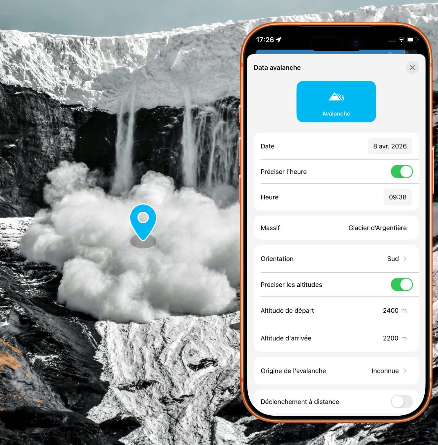
Alert the community and report avalanches quickly with just a few taps in the app
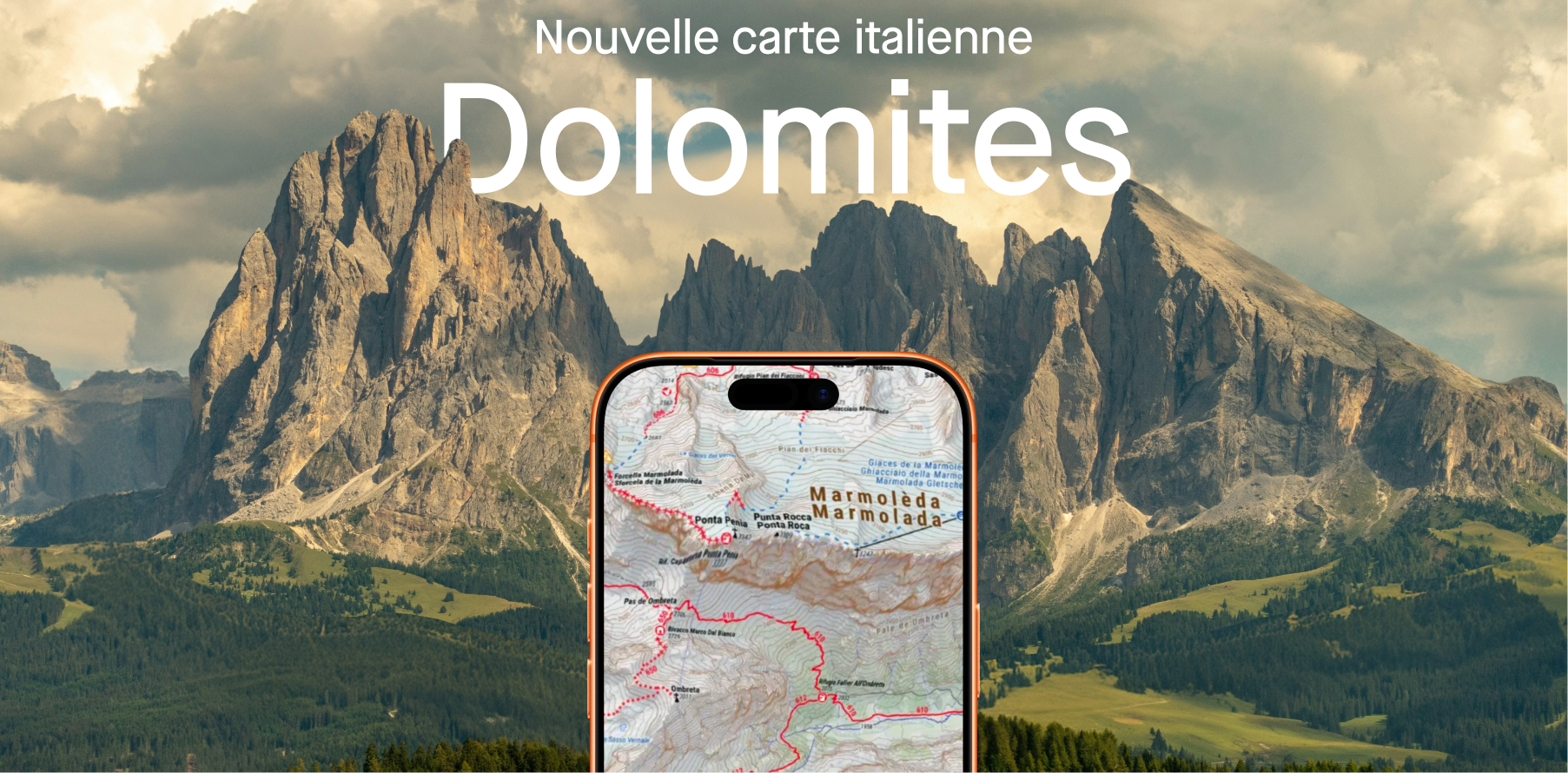
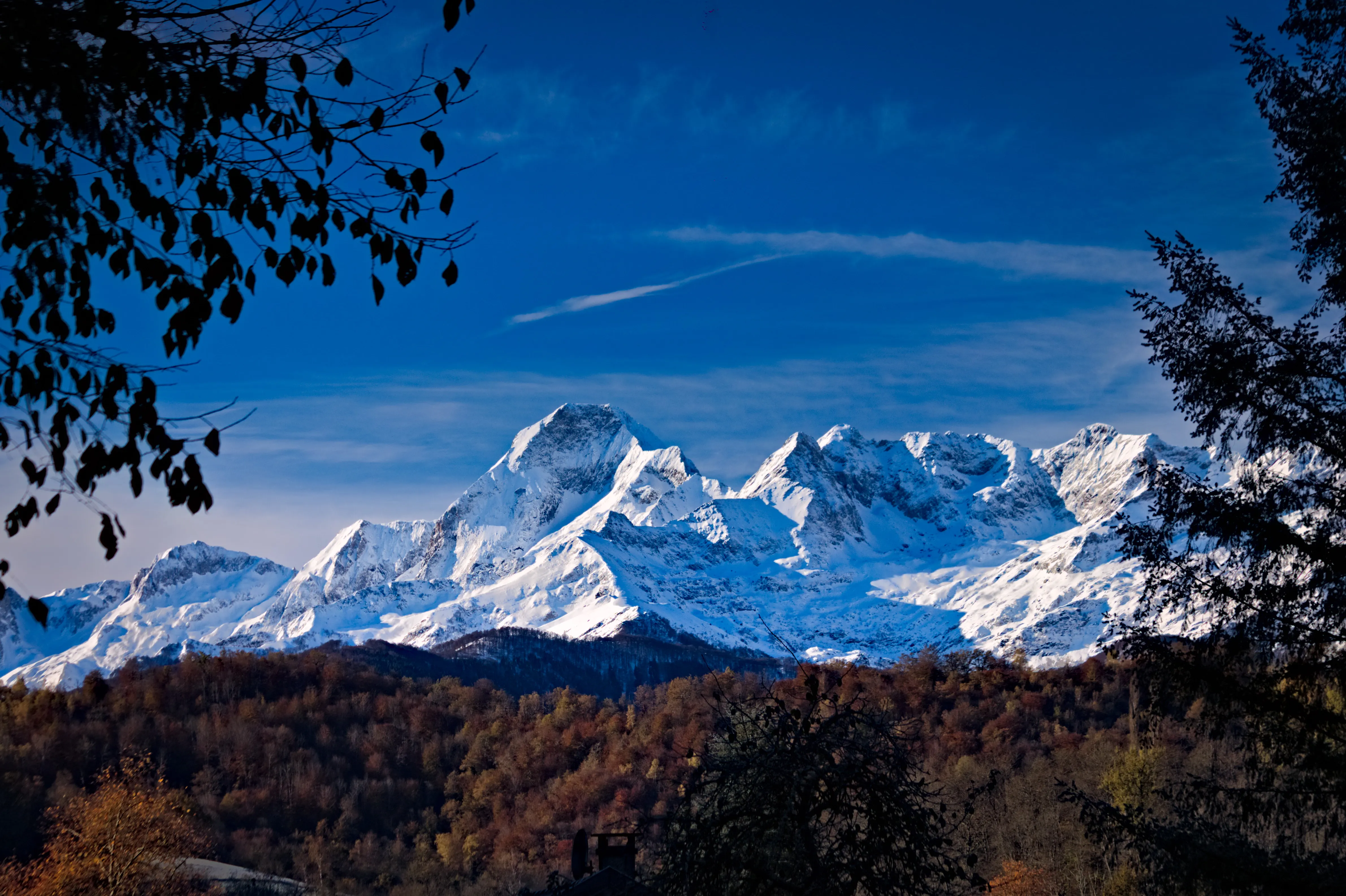
Plan your next hikes and treks in the Dolomites.
11
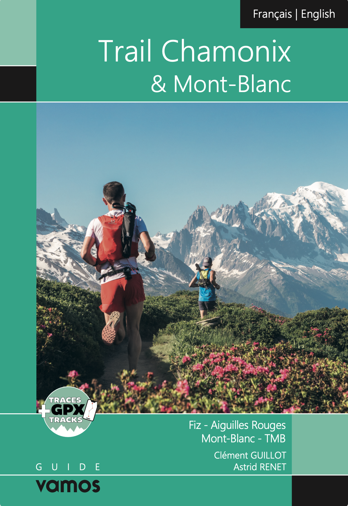
Explore the most breathtaking hikes in the Mont Blanc massif with the Vamos guidebook, featuring detailed routes, hidden gems, and unforgettable alpine adventures.
25
March
Explore the new Whympr winter satellite maps for ski touring in Belledonne and Zermatt (Matterhorn & Monte Rosa).
16
Discover Whympr’s new feature: report and check hazards and obstacles before your outdoor outing.
Big news! You can now access thousands of webcams on Whympr to check real-time conditions before heading out.
Discover the diversity and beauty of these mountains through four trekking routes in the Pyrenees: 3 to 6 days in the Hautes-Pyrénées, Aragon, Ariège, and the Eastern Pyrenees.
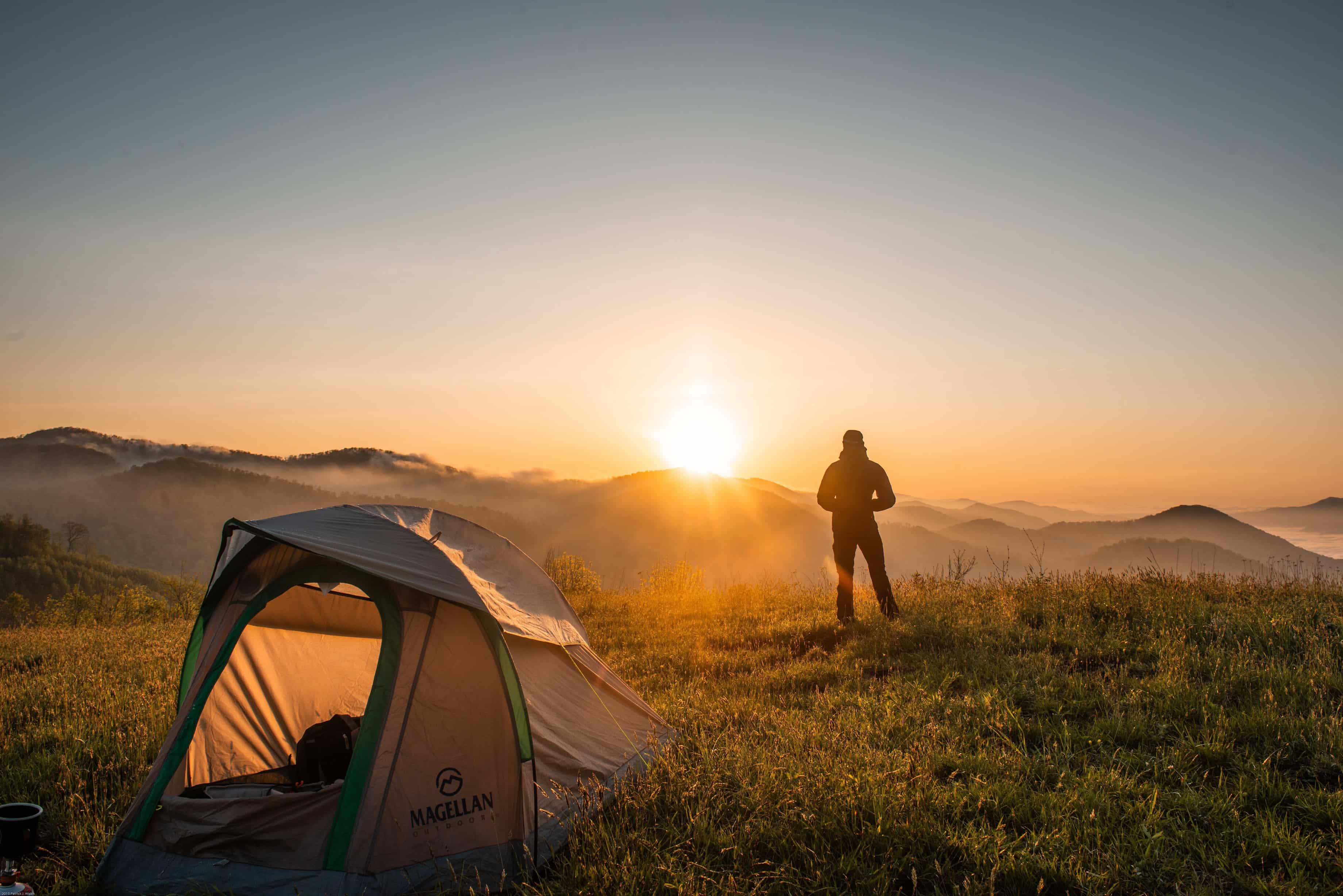
Here are the 3 most beautiful places to go bivouacking in the French Alps.
FATMAP has shut down on October 1st 2024. Which mountain app should you choose to prepare for your outdoor outings?
What to do with Whympr? Our CEO explains it to you in 5 minutes in this video.
Discover our 4 mountain-related projects that we are going to support financially this winter.