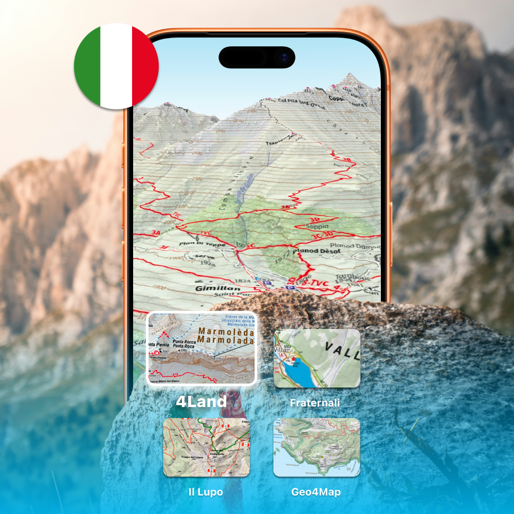
Whympr is once again enhancing its catalog by integrating 4Land Italian maps into its app.
Now available directly online, these detailed topographic maps cover several must-visit regions in Italy, including the Dolomites, the Aosta Valley, and Tuscany, as well as many other territories among outdoor enthusiasts.
Included at no extra cost within the subscription dedicated to Italian maps, these new maps are available at a price of €24.99 per year.
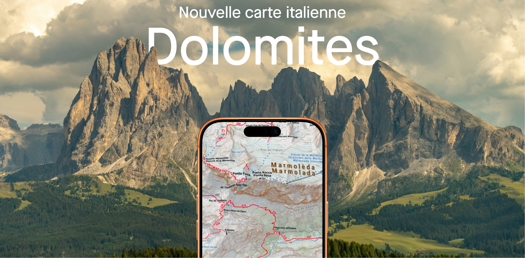
Explore the Dolomites in detail with 4Land maps
4Land maps, at a 1:25,000 scale, are recognized for their readability and richness of information, making them ideal for hiking as well as more demanding outdoor activities. They offer detailed and marked trails, clear terrain readability, numerous useful points of interest in the field, and extensive coverage of highly diverse regions across Italy.
Among the covered areas:
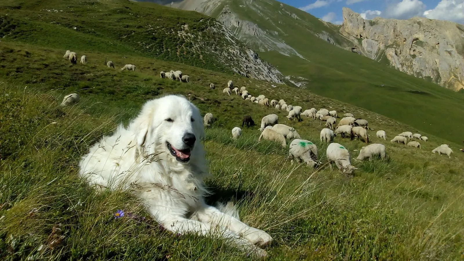
- the Dolomites, and its famous Alta Via
- the Aosta Valley, notably with the Italian section of the Tour du Mont-Blanc
- Tuscany, for gentler itineraries
- Elba Island and its many pebble coves
A unique diversity to vary experiences, from alpine trekking to Mediterranean walks.
How to activate the Italian maps pack?
- Open Whympr
- Go to the Shop then “Subscriptions”
- Click on Italian Alps Maps
- Subscribe directly from the app (via iOS or Android)
Price: €24.99/year, unlimited access.
How to use 4Land maps in Whympr?
Here’s how to take advantage of 4Land maps with your Italian maps subscription:
- Open Whympr
- From the map, open the maps menu at the bottom right (layers icon)
- Scroll through the map layers until reaching the Italian maps
- Select 4Land maps

A unique offer worldwide
With the arrival of 4Land, Whympr now becomes the only application in the world to offer a single subscription providing access to four major Italian map providers: Geo4Map, Il Lupo, Fraternali and 4Land.
Everything is brought together in one app, with a single interface and one subscription at €24.99 per year.
A real advantage for planning and enjoying your outings in Italy with the highest possible level of detail.